

Natuurgebied Handelse Bossen | Handel
Handel lies in the former heath and moorland area the Peel; for centuries it has been a small hamlet, important only because of the Marian pil…
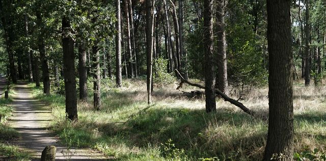
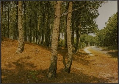
Handel lies in the former heath and moorland area the Peel; for centuries it has been a small hamlet, important only because of the Marian pilgrimage site. In 1832 it had about one hundred inhabitants (typically distributed among about ten to twenty houses). This situation can be explained by the isolation that its location entailed, with poor roads and a grubby moor as available arable and pasture land. On the west side, Handel being an elongated village with a north-south axis, people mainly let their cattle run according to the pot-bellied system as also led to the convex fields below Bakel. Around 1800 problems began to arise. The increase in population and thus in cattle brought with it an excessive decrease in the overgrowth of the heathland. Dust dunes formed and grew and the sand dusted the fields, reducing the harvest. On an 1836 map, the entire west side of Handel consists of bare sand. Along the western edge of Handel a peripheral wall was therefore constructed. Oak coppices and lanes were built around the fields and along the houses so that the sand would remain behind them. This eventually led to a rampart of sand, eight meters high in places. During the 19th century, the area was gradually forested. Also because the prices for wood improved because the demand for stuthhout for the Limburg mines was high. The area of Strijbosch was the last to remain dusty.