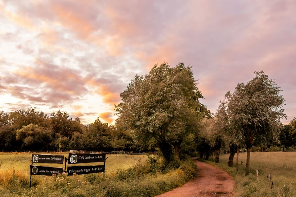
De Aarlese Beemden
The field name 'Beemd' is used in North Brabant to refer to meadows in a stream valley. This means that it was originally a wet hayfield. The area was part of the lowland stream the Aa. Little can be found of this biotope anymore. It has been cut off from the stream valley by the 2 canals that cut through Laarbeek. Around 1824 the south Willemsvaart was dug and a century later the Wilhelmina canal. Construction of the Eindhoven Northern Ring Road is the next threat to this area. The reasonably large biodiversity is caused by the fact that the Beemd has escaped large-scale agriculture. It is currently managed by small hobby farmers. The parcel division within the area has existed for more than 200 years. The IVN, Laarbeek department, has manages an area of 1½ ha.
Locations on this route
Start point
Kouwenberg 37
5735GM Aarle-Rixtel
Navigate to starting point
End point
Kouwenberg 37
5735GM Aarle-Rixtel
Navigate to endpoint
Directions
The start and end point of this route is at Kouwenberg 37 in Aarle-Rixtel (hiking junction 99).