Vresselaarroute
A beautiful and varied area with a surface area of about 35,000 hectares in the city triangle of Den Bosch, Eindhoven and Tilburg. The area has a core of 7,500 hectares of nature consisting of woods, marshes, heath and agricultural poplar landscape.
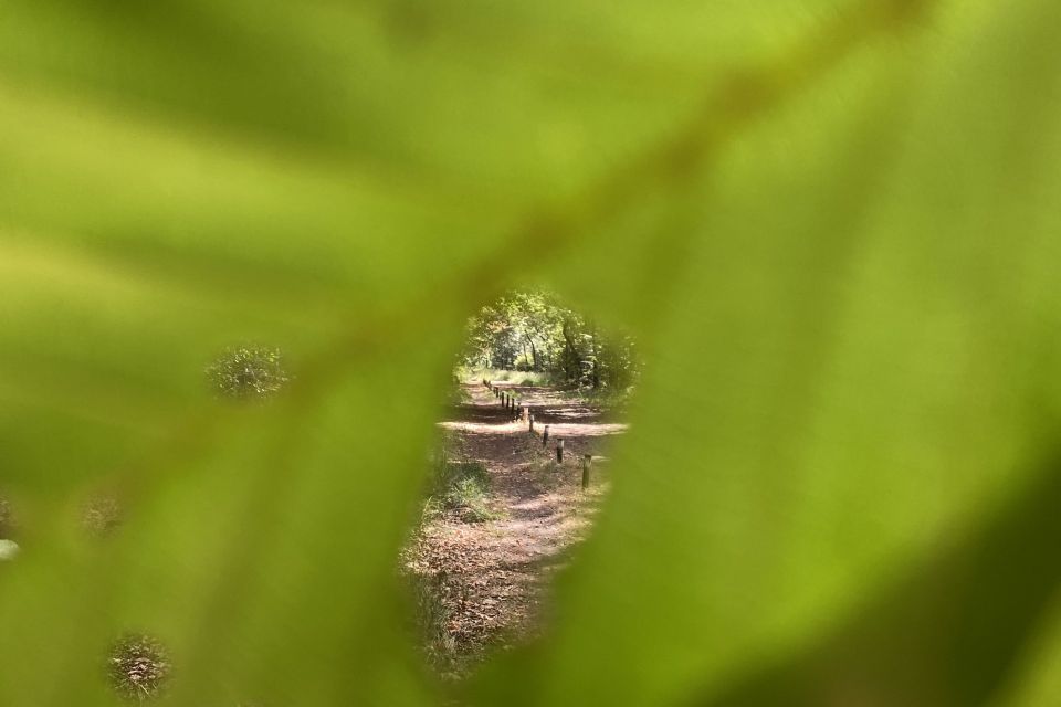
The Vresselaar route lies to the south of Schijndel. The route surrounds the Vresselse woods and the woods to the north of Mariahout. These forests mainly consist of pine trees.
The Vresselaar route includes many winding and curvy paths. The route h…
A beautiful and varied area with a surface area of about 35,000 hectares in the city triangle of Den Bosch, Eindhoven and Tilburg. The area has a core of 7,500 hectares of nature consisting of woods, marshes, heath and agricultural poplar landscape.
The Vresselaar route lies to the south of Schijndel. The route surrounds the Vresselse woods and the woods to the north of Mariahout. These forests mainly consist of pine trees.
The Vresselaar route includes many winding and curvy paths. The route has little height difference and is 95% unpaved. It is a beautiful and varied route with well laid out single tracks with tight bends and the occasional ski jump. There is a good variation between winding and straight parts. The surface consists of sand and forest soil. The route is marked by wooden posts with the international MTB sign in purple (triangle with 2 circles underneath).
A GPS-track file is available. The starting coordinates are: N 51.551063, E 5.49916.
Locations on this route
Start point
Veghelsedijk 1
5738RJ Mariahout
Navigate to starting point
End point
torreven
5738 Mariahout
Navigate to endpoint
Directions
Route is available via gpx file.