
Blikken Emmer
De Rips, historical viewpoint and climbing pole the Tin Bucket
Content
- 1 D'n Blikken Emmer
- 2 French rule and the land register
- 3 From point A, Stippelberg to D'n Blikken Emmer
- 4 Shelter and fire tower
- 5 Castle
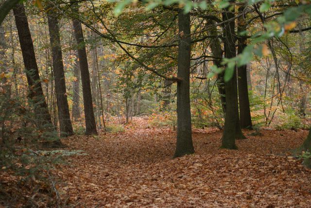
On one of the highest shifting dunes of the Stippelberg (about 33m +NAP), a long pole had stood at this spot since the year 1810. The pole had a length of 7 to 8 metres and in its top hung a wicker basket and a flag. The pole was used by French surveyors and was called a 'Lange Juffer'. Later, it was named D'n Blikken Emmer.
redacted map with some explanatory letter indicationsUnder the influence of French rule under Napoleon, the establishment of the Cadastre to collect taxes began in 1810/11. A triangular surveying network was used to measure the territory of the former municipality of Bakel. (see map)
Lang…
De Rips, historical viewpoint and climbing pole the Tin Bucket
Content
- 1 D'n Blikken Emmer
- 2 French rule and the land register
- 3 From point A, Stippelberg to D'n Blikken Emmer
- 4 Shelter and fire tower
- 5 Castle
On one of the highest shifting dunes of the Stippelberg (about 33m +NAP), a long pole had stood at this spot since the year 1810. The pole had a length of 7 to 8 metres and in its top hung a wicker basket and a flag. The pole was used by French surveyors and was called a 'Lange Juffer'. Later, it was named D'n Blikken Emmer.
redacted map with some explanatory letter indicationsUnder the influence of French rule under Napoleon, the establishment of the Cadastre to collect taxes began in 1810/11. A triangular surveying network was used to measure the territory of the former municipality of Bakel. (see map)
Lange Juffer poles were placed in the large open heathland at all vertices of the monitoring network. Sometimes the landmarks were several kilometres apart. The Surveyors used a corner measuring instrument and binoculars. Using chains, they took length measurements in the terrain between the poles. Besides the Lange Juffer poles, the church towers of Bakel, Milheeze and Deurne were also important measuring points. But the centuries-old boundary posts between the municipalities of Gemert, Venray, and Deurne also served.
The central point for all triangulation was point A, which was named D'n Blikken Emmer. This is therefore where the main central 'Lange Juffer'stood in 1810/11. About 100 years later, a bucket was attached to this pole. In popular speech, the pole was given D'n Blikken Emmer but Blekken Immer also occurs.
From 1892, the Ripse forests were planted for the mining industry in southern Limburg. Tradition has it that the bucket in the pole had a special function: people banged on the bucket to use that sound to announce the forest workers' shifts. In a 1909 annual report of the Heidemij, by the way, the long pole on this shifting dune was called 'the Leege Emmer' and it was further mentioned that if one wanted to see over the strongly growing pines, a 'real' fire tower would have to be built in the near future.
The French's measurement data from 1810 is currently still used every day by the Land Registry.
The toponym Stippelberg was definitively formed from 1810/11. It refers to the shape of the then bare sand hills that lay like dots in the large open heathland.
French Surveyor around 1800 with measuring chain and binoculars A bucket hangs in the top of the long pole
The long pole called D'n Blikken Emmer Small section from the French fieldwork on which all external and special places are listed. It also shows the letter indications of the triangulation and length measurements. Information panel at D'n Blikken Emmer copy of the original French fieldwork for the survey of the Municipality of Bakel in 1810-11. This shows mainly the letter indications for the triangulation of the measurement chain example