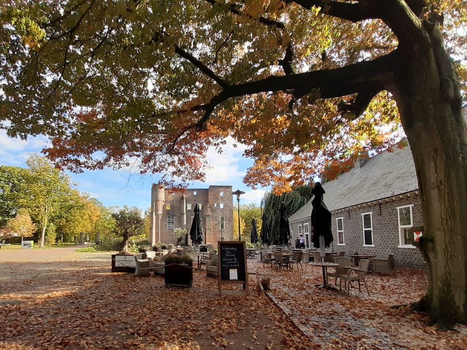
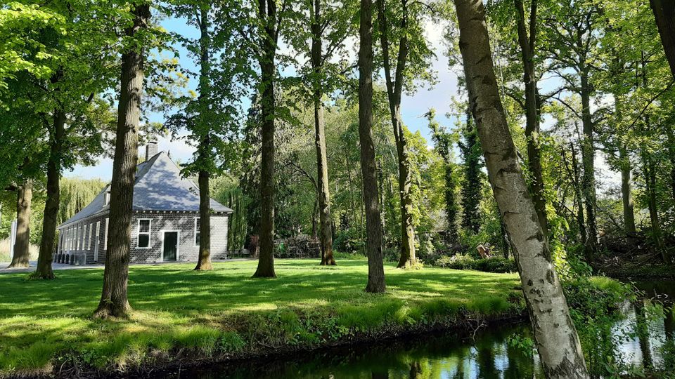
Hiking through the lands of the castle
The network of hiking routes in downtown Deurne and its immediate surroundings will give you plenty of hours of hiking fun.
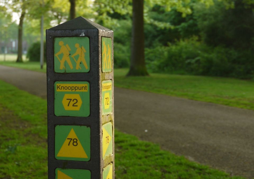
How does the network of hiking routes work?
The network of hiking routes consists of various junctions, numbers on maps and (yellow-green) signposting or stickers in the fields. You can create your very own route by connecting the numbers.
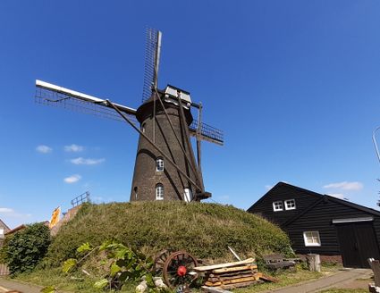
From lord of the castle to miller
Hiking through the lands of the castle
Starting point: parking lot Haageind
Length: 4.8 km
Junctions: through the castle park to 71 – 72 – 78 – 96 – 97 – 71
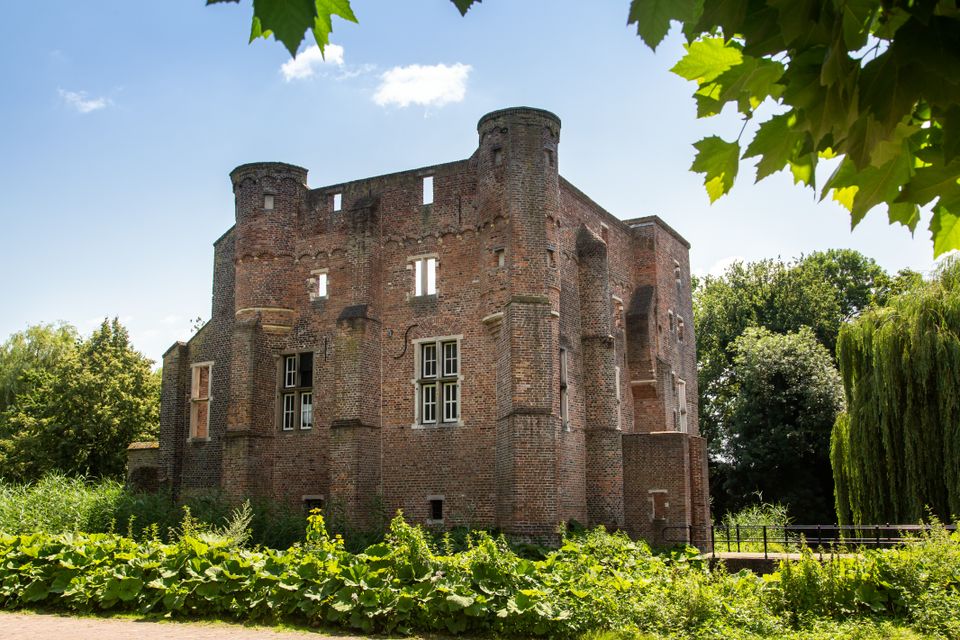
Locations on this route
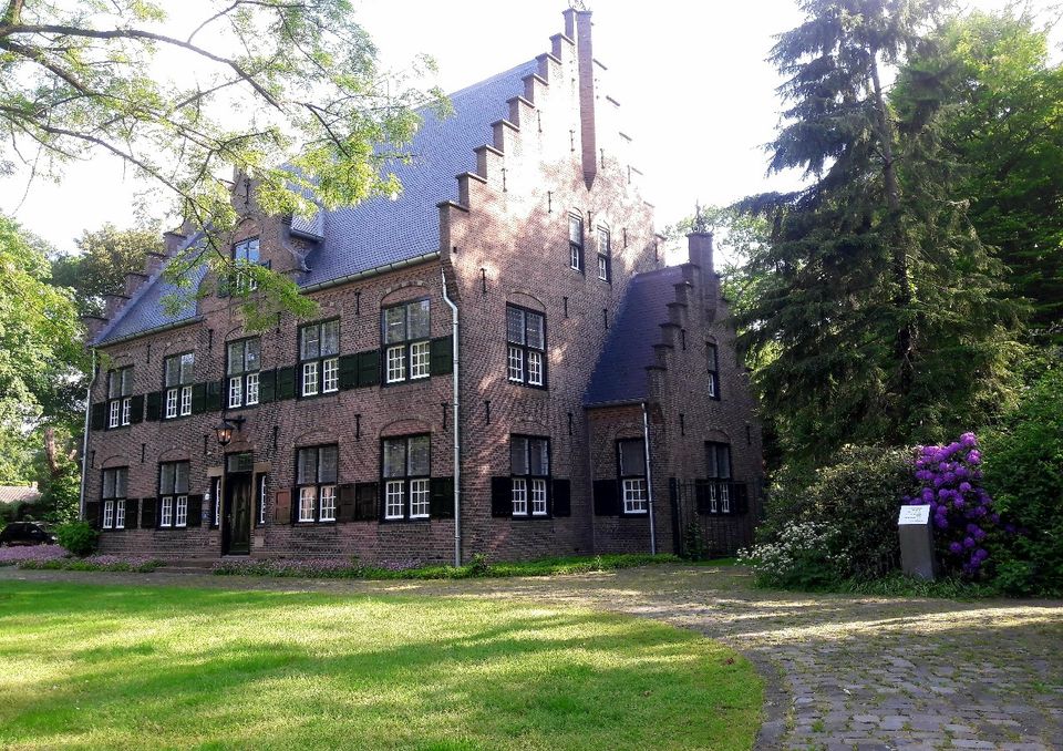
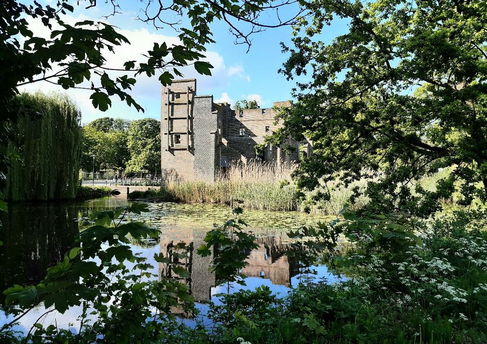
Haageind castle grounds
Kasteeldomein HaageindHaageind 37
5751 BB Deurne
Navigate to starting point
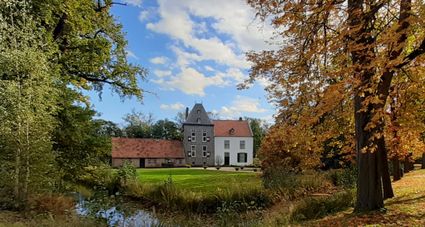
Haageind castle grounds
Haageind castle grounds
Kasteeldomein Haageind
Haageind 37
5751 BB Deurne
Navigate to starting point
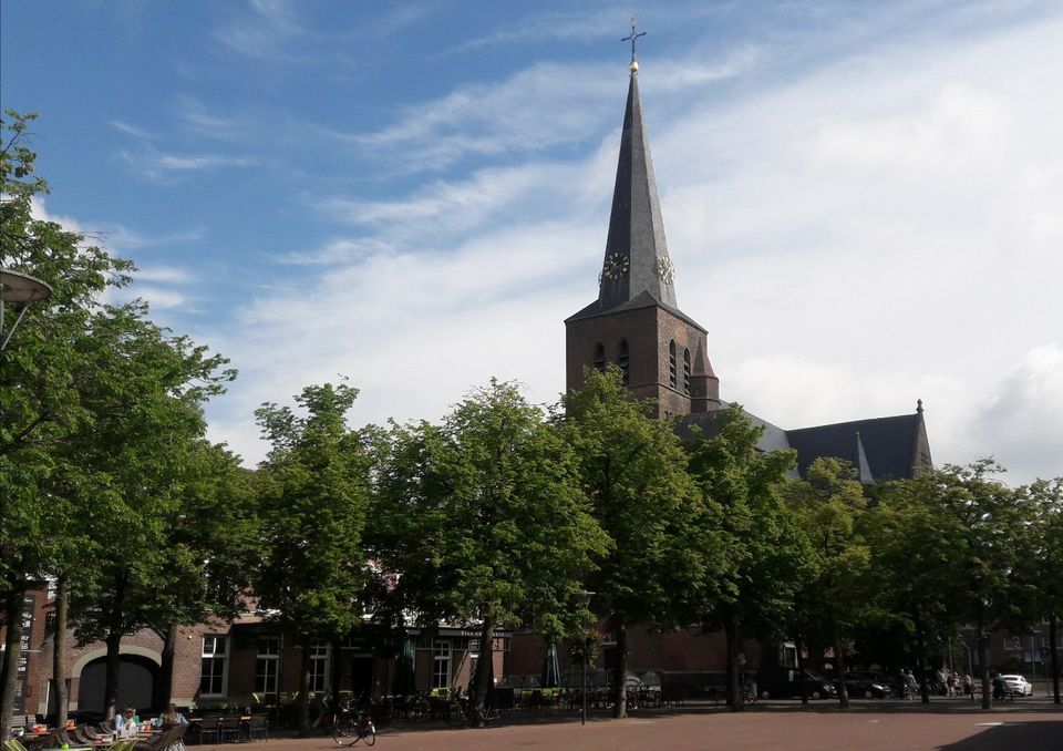
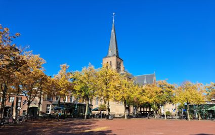
St. Willibrordus church in the centre of Deurne
St. Willibrorduskerk Deurne CentrumMarkt 9
5751 BE Deurne
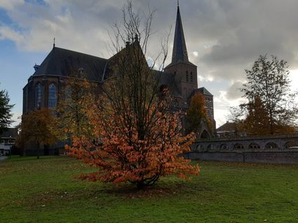
St. Willibrordus church in the centre of Deurne
St. Willibrordus church in the centre of Deurne
St. Willibrorduskerk Deurne Centrum
Markt 9
5751 BE Deurne
Haageind castle grounds
Kasteeldomein HaageindHaageind 37
5751 BB Deurne
Navigate to endpoint
- 71
- 72
- 78
- 96
- 97
- 71