Walking route through the inner and outer Aarle-Rixtel area
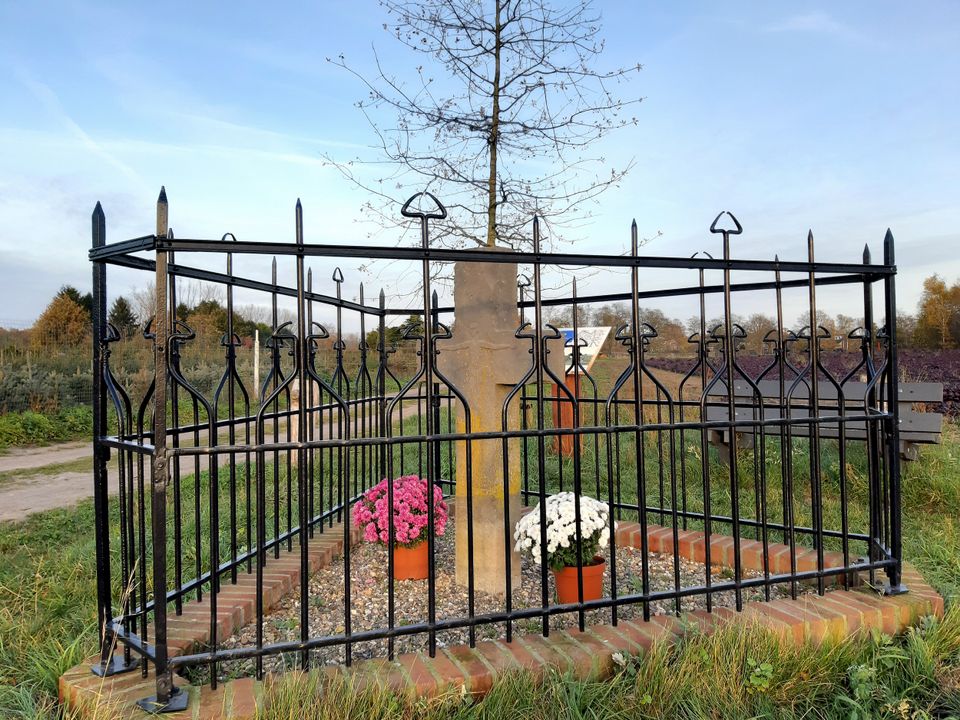
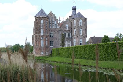
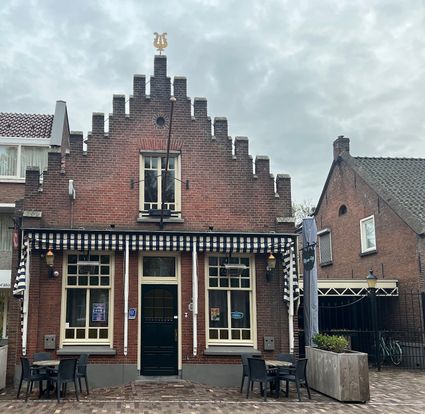
The walking route starts at the Croyse Hoeve. You walk away from the castle along Croylaan in the direction of walking junction 52. You continue to walk through Laag Strijp. On the Hagelkruisweg, you will pass the old Hagelkruis. You then walk through Aarle-Rixtel, passing the former town hall and the Onze Lieve Vrouw Presentation Church. On the Bosscheweg, you pass the Mariengaarde monastery complex. You walk out of Aarle-Rixtel again through nature reserve Laag Strijp and end up back at the Croyse Hoeve. There are catering facilities at the start and finish and after about 3 kilometres.
Locations on this route
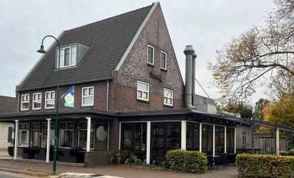
Start point
Croylaan 9
5735PB Aarle-Rixtel
Navigate to starting point
Directions
70% of the route is paved, 30% unpaved.
- 52
- 59
- 39
- 51
- 99
- 8
- 58
- 32