Ommetje Zuid - Mariahout
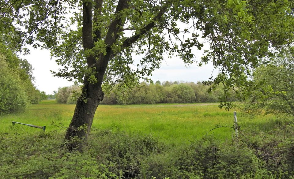
The area enclosed by the diversions covers 68 hectares and is characterised by small-scale elements such as pollard-willows and small wooded banks in a mixture of arable farming and pasture. Many elements from the last reclamation period around 1920 are still visible here. With the Keelgras and the Moorselen as nature pearls lying in the EHS (Ecological Main Structure) it gives a picture of old and modern cultural landscape. The names of the roads on this hike refer to the fens that were originally here.
Locations on this route
Start point
Mariastraat 25
5738AH Mariahout
Navigate to starting point
Onze Lieve Vrouw van Lourdes church
Mariastraat 255738AH Mariahout
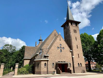
Onze Lieve Vrouw van Lourdes church
Onze Lieve Vrouw van Lourdes church
Mariastraat 25
5738AH Mariahout
Directions
The Mariahout Walking Network consists of 16 optimized walking routes. A large sign with a complete overview of the routes is located at the Church of Our Lady of Lourdes in Mariahout (the starting point of this route). Advice: We recommend sturdy shoes or boots. The route brochure includes alternative sections if necessary.