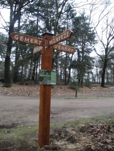
Ripse Forest Hiking Route
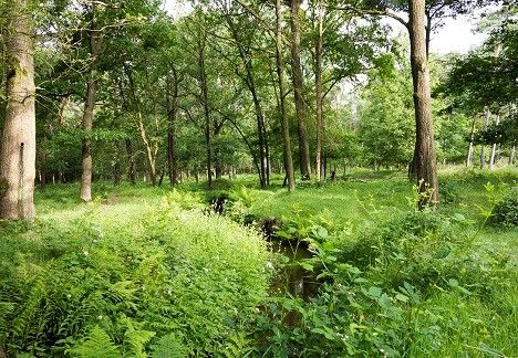
“Ripse Forest Hiking Route”, a route that takes you through the forests and nature of the region with a length of about 11 kilometers, mainly on the existing network of hiking routes. The route introduces you to the many varieties of the landscape of De Rips. The starting point is located near the “Bosmuseum” in De Rips. Along the way, you will pass by various special and historic sites that are briefly described and marked on the topographic map on the inside of the brochure. Further information can be found in the brochure or by scanning a QR code at the location itself to connect to the website of "D'n Blikken Emmer", where you will find more information about the history of the greenest village of the municipality of Gemert-Bakel. The brochure “Ripse Forest Hiking Route” is available for free at VVV Gemert-Bakel while supplies last.
Locations on this route
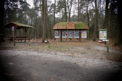
Start point
Ripse Boswandelroute
Ripsestraat
5764 PE DE RIPS
Navigate to starting point
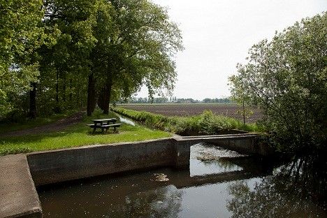
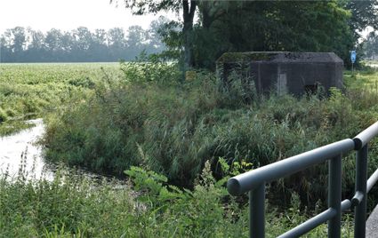
WWII: Koordekanaal in het Beestenveld | De Rips
KoordekanaalStippelberg
5764 PC De Rips

WWII: Koordekanaal in het Beestenveld | De Rips
WWII: Koordekanaal in het Beestenveld | De Rips
Koordekanaal
Stippelberg
5764 PC De Rips
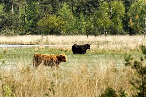
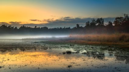
Natuurgebied Beestenveld | De Rips
BeestenveldStippelberg
5764 PD De Rips
Natuurgebied Beestenveld | De Rips
Natuurgebied Beestenveld | De Rips
Beestenveld
Stippelberg
5764 PD De Rips
Natuurgebied De Klotterpeel | De Rips
Klotterpeel5764 RK De Rips
Natuurgebied De Klotterpeel | De Rips
Natuurgebied De Klotterpeel | De Rips
Klotterpeel
5764 RK De Rips
WWII: Koordekanaal in de Klotterpeel | De Rips
Kruisberglaan5764 RK De Rips
WWII: Koordekanaal in de Klotterpeel | De Rips
WWII: Koordekanaal in de Klotterpeel | De Rips
Kruisberglaan
5764 RK De Rips
- 75
- 74
- 73
- 72