D'n Erpse Pad
D'n Erps Pad runs entirely over the so-called Middle Brabant Dekzandrug. Already in the early Middle Ages, and probably even before that, this path was the connecting road between present-day Son and present-day Erp. A high sand ridge, like this one, was also the only way to get from one place to another. Outside it was marshy and dangerous. The sand ridge was formed after the last ice age (about 10,000 years ago), when windblown sand in the direction southwest-northeast, after thawing of the ice layer, accumulated. The path originally ran from present-day Son via Rijtvenweg near Breugel and Boerdonk to present-day Erp. Now it is crossed by the military camp on the Paalberg (name derived from a boundary post) in Mariahout and the Zuid-Willemsvaart near Beek en Donk.
Locations on this route
Start point
Mariastraat 25
5738AH Mariahout
Navigate to starting point
End point
Grensweg
5738RK Mariahout
Navigate to endpoint
Directions
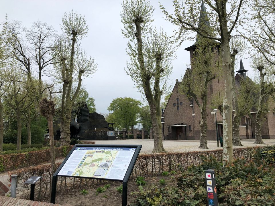
The Mariahout Walking Route Network consists of 16 optimised walking routes. A large board, with a total overview of the routes, is located at the O.L.Vr. van Lourdes church in Mariahout.