This is
not to be missed!

Het Gulden Land
Together with the municipality of Helmond and the Aa en Maas Water Board, the municipality of Laarbeek developed the area from Kop van Aarle-Rixtel via the Bundertjes to the centre of Helmond-Noord under the name: 't Gulden Land. This name refers to the Gulden Aa stream that flows through the area. In the past, the Gulden Huis also stood in the middle of the area. 't Gulden Land is a place where nature, water, cultural history and recreation go hand in hand. It is a wonderful place to walk.
More information about ‘t Gulden land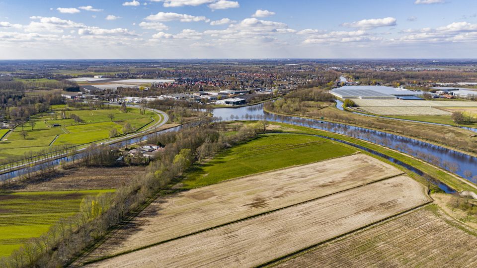
Walking in Het Gulden Land - where nature, water, cultural history and recreation go hand in hand.
-
Architectural Cycling Route
Architectural Cycling Route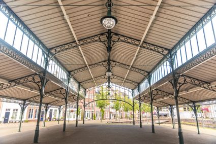
Helmond is an ancient city characterized by a wide variety of architectural styles. Centuries-old...
(33.2 km) -
Discover ‘t Gulden Land
Discover ‘t Gulden Land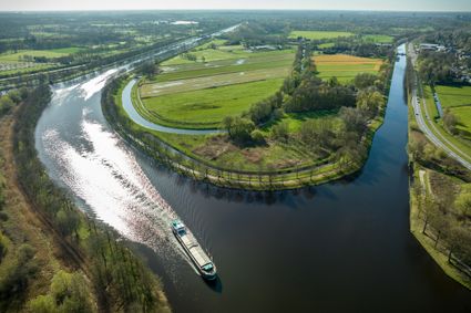
Discover the place where greenery, water, cultural history and recreation go hand in hand.
(9.9 km) -
Head of ‘t Gulden Land
Head of ‘t Gulden Land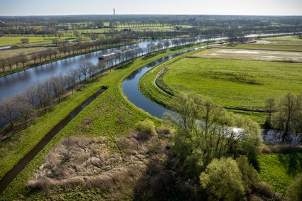
A short walk through the place where greenery, water, cultural history and recreation go hand in...
(2.7 km) -
In de ban van de Aa en de Gulden Aa
In de ban van de Aa en de Gulden Aa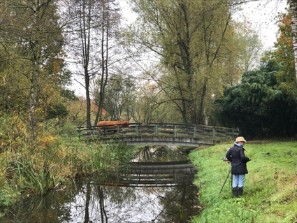
Picturesque hiking route through the Aa basin.
(6.3 km) -
Land van de Peel Textile Route │Made in Brabant
Land van de Peel Textile Route │Made in Brabant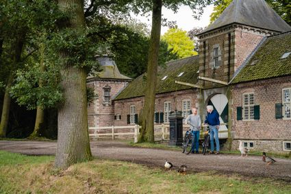
Cycle 43 kilometres through the breathtaking Land van de Peel and unravel the fibres of the texti...
(46 km) -
Through 't Gulden Land
Through 't Gulden Land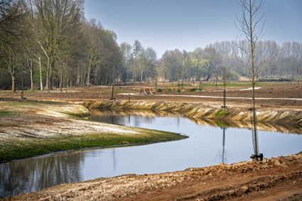
A tour of the head of the place where greenery, water, cultural history and recreation go hand in...
(7.3 km)
De Groene Long
You will encounter water features, unusual trees, bridges and benches through the Green Lung. There are signs everywhere to make you nature-wise. The round trip is - in dry times - passable for wheelchairs. In wet times, it is possible for buggies or prams. Through the Green Lung, you can also have fun bird-watching. A bird nature trail has been created here. Apart from birds, you can also enjoy the beautiful trees and plants. And, of course, the fascinating insect world.
Hiking & Cycling in de Groene Long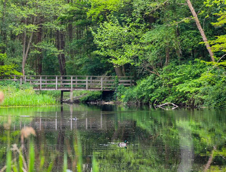
Ruweeuwsels
The Ruweeuwsels formed the southwestern boundary of the domain of Lieshout in the Middle Ages. By eeuwsel was generally understood a low-lying, somewhat swampy area, overgrown with brushwood, thorn bushes and here and there grass of poor quality. In 1760, the eeuwsel was made suitable for forestry. For this purpose, the entire area was levelled, after which ditches were dug, between which rows of trees were planted.
The current Ruweeuwsels therefore first date from 1760 and are not an original piece of Brabant nature, as is sometimes assumed. In 1918, the municipality of Lieshout bought several adjacent plots of land, giving the Ruweeuwsels their current size. Timber production had been continued by the various owners, until the Ruweeuwsels came into the possession of the Brabants Landschap Foundation in 1968 and the emphasis shifted entirely to the scenic value of the Ruweeuwsels.
Walking & cycling through the Ruweeuwsels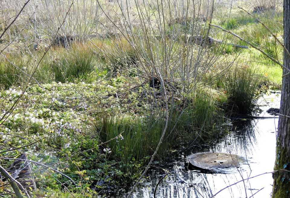
The Laarbeek Trail - 75 km of walking in 5 stages
-
The Laarbeek trail - Stage 1 (of 5)
The Laarbeek trail - Stage 1 (of 5)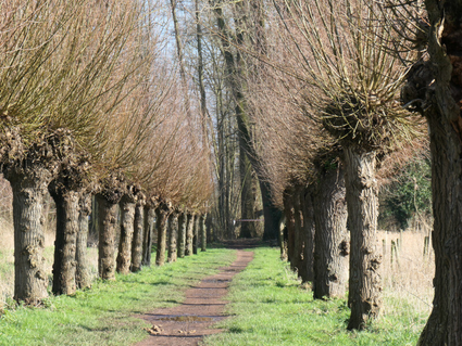
The first stage (15 km) of the Laarbeekpad, a long multi-day hike across the territory of the mun...
(15 km) -
The Laarbeek trail - Stage 2 (of 5)
The Laarbeek trail - Stage 2 (of 5)
The second stage (13 km) of the Laarbeekpad, a long multi-day hike across the territory of the mu...
(13 km) -
The Laarbeek trail - Stage 3 (of 5)
The Laarbeek trail - Stage 3 (of 5)
The third stage (16 km) of the Laarbeekpad, a long multi-day hike across the territory of the mun...
(16 km) -
The Laarbeek trail - Stage 4 (of 5)
The Laarbeek trail - Stage 4 (of 5)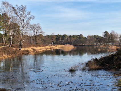
The fourth stage (15 km) of the Laarbeekpad, a long multi-day hike across the territory of the mu...
(13 km) -
The Laarbeek trail - Stage 5 (of 5)
The Laarbeek trail - Stage 5 (of 5)
The fifth stage (17 km) of the Laarbeekpad, a long multi-day hike across the territory of the mun...
(17 km)