Geocache Ommetje Oost - Mariahout
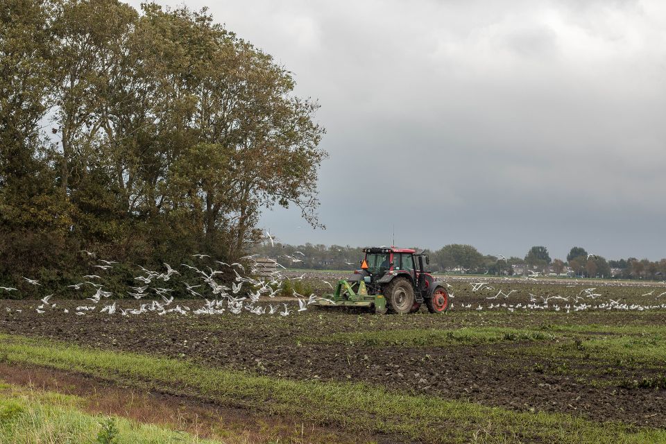
This route is partly on mountain bike trails. Ommetje Oost shows mainly small-scale landscape in the form of arable farming and forest. On the smaller parcels of land, there are a few hobby farmers, which increases the variety of the vegetation. The walk runs along the Heieindseloop and the Kontloop as much as possible.
Locations on this route
Start point
5738 AH Mariahout
Navigate to starting point
Directions
WP1: N51.32.371 - E5.34.363
How many walking routes are there on the board? A=
WP2: N 51 32.620 - E 5 34.0(A-8)2
What number is written on the lamp post by the bridge? B=
WP3: N 51. 32.6(B+4)8- E 5 34.118
At the weir there is a water level gauge. What is the highest water level that can be measured on it. Stack the number. C=
WP4: N51 32.7(C-6)8 - E5 34.207
Turn right here. There is a mark on the tree. What colour is this marking? D=
Yellow/Red = 6
Orange/Blue = 4
Green/White = 1
INFO1: N51.32.737 - E5.34.250
Around 1930 the wasteland (heathland) was reclaimed and converted into cultivated land. The large tree at the waypoint is a Douglas-fir and was one of the first trees to be planted on this cultivated land.
WP5: N51 32.856 - E5 34.446
Turn right at the stile.
WP6: N51 32.817 - E5 34.6(D-1)8
You can take a rest here at the bench. How many holes are there in the iron profile at the back of this bench? E=
INFO2: N51 32.828 - E5 34.703
This is where the Rotterdam-Rhine pipeline runs underground. Every day, every night, year in, year out, the Rotterdam-Rhine Pipeline (RRP) transports crude oil and semi-finished products from Rotterdam Europoort to the Ruhr area in Germany. Without disturbing our surroundings or the environment, without noise, safe and invisible.
W7: N51 32.747 - E5 34.789
Turn left here for the ditch
INFO3: N51 32.718 - E5 34.992
Here stands an oak tree which we call a "plekker". Two trunks growing together. This tree has been "torn apart". You walk past the mortar-ven grove. This fen has become silted up. There are plans to dig it out again. If people do not intervene, the land accretion of a pond will (may) take place as follows:
-Reed begins to grow along the banks and aquatic plants in the water;
-Dead plant remains turn into humus and fill up the pond. The reed grows strongly, almost to the centre of the pond;
-Along the former banks, the reeds are being supplanted by vegetation adapted to drier soil;
-What remains of the lake are small ponds and ditches surrounded by reeds. In many areas, the soil is now firm enough for other plants, and even for a so-called 'broekbos' (a wood of trousers);
-The last puddles are silting up. The last puddles become marshy and the 'broekbos' changes into a normal forest.
WP8: N51 32.710 - E5 35.2E4
You are now above the Heieindseloop. You have walked it downstream. The next loop to follow is called the Kontloop. You are walking it upstream. How many triangles (big and small!) are there in the top part of the highest railing? F=
WP9: N51 32.6(F-7)6 - E5 35.204
You just walked past a poplar grove. Nature had to be compensated for in the parcelling out of land. This poplar grove is such a piece of nature. How many bars does the gate have? G =
WP10: N51 32.5(G-2)1 - E5 35.218
What is the last digit of the telephone number of the 'grensweg' pumping station? H=
Continue along the grassy path. You are walking along drainage channels. These make it possible for agriculture to take place here. While walking to the next WP, look around you. You may notice a solitary tree. This is a border tree. This marked the border between two parcels of land. Many solitary trees have disappeared from the landscape.
WP11: N 51 32.4(H+8), E 5 34.955
Please count the name of the bell at the gate. i=
Follow Kontloop (water).
Cache: N51.32.EDi - E 5.34.i(B+1)(A-5)
Additional hints: Bugs like dilapidated houses and like to hide in cracks and holes.
