There are 202 results found for "Theological University of the Reformed Churches物理学文凭证书【咨询网:bzw985.com】衡阳Natsional"
Routes
49 to 72 of 202 results
-
Through the centre of Lieshout
Through the centre of Lieshout
Short walk through part of the core of Lieshout.
(3.0 km) -
Pleasant walking tour through the history of Liessel
Pleasant walking tour through the history of Liessel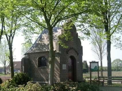
This walking tour lets history relive. The tour leads along special places where monuments have b...
(5.0 km) -
Route through the village and outlying area of Lieshout
Route through the village and outlying area of Lieshout
Walking route half of which runs through the village and the other half through the outlying area.
(5.0 km) -
Happening and stepping, The Goose Walk
Happening and stepping, The Goose Walk
The name says it all: ‘Happen en Stappen’ is a delicious combination of hiking and culinary enjoy...
(12.0 km) -
Bicycle tour through the Deurnese countryside
Bicycle tour through the Deurnese countryside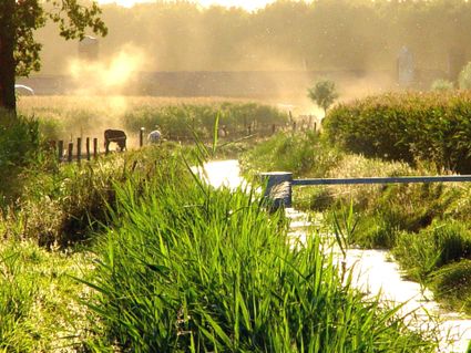
Nice bike ride through the rural outskirts of Deurne. You cycle on picturesque farm roads, past m...
(37.0 km) -
Geocache Ommetje Oost - Mariahout
Geocache Ommetje Oost - Mariahout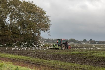
Ommetje Oost shows mainly small-scale landscape in the form of arable farming and forest. On the...
(5.0 km) -
Ripse Forest Hiking Route
Ripse Forest Hiking Route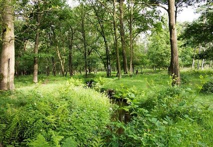
“Ripse Forest Hiking Route”, a route that takes you through the forests and nature of the region...
(11.0 km) -
Canal Walk
Canal Walk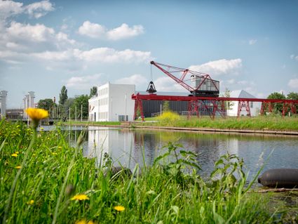
The walk takes you past industrial buildings, manufacturer’s villas, and architectural and artist...
(2.7 km) -
Industrial Heritage Walk
Industrial Heritage Walk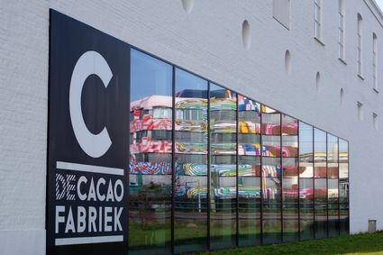
In the 19th century, Helmond evolved from a small town with approximately 2,500 inhabitants into...
-
Jeneverbesroute
Jeneverbesroute
With the theme route Juniper Route you will discover the secrets of the Vlierdende forests near D...
(8.1 km) -
Route through village and part of the Aarle-Rixtel rural area
Route through village and part of the Aarle-Rixtel rural area
Village of Aarle-Rixtel and part of outlying area.
(5.0 km) -
Geocache De Aarlese Beemden
Geocache De Aarlese Beemden
This geocache runs through the Aarlese Beemden. These are located north of the village of Aarle-R...
-
Bosroute, Dal van de AA
Bosroute, Dal van de AA
You can cycle under the trees while the leaves rustle on a breeze.
(65.1 km) -
Canals Cycle Route from Someren
Canals Cycle Route from Someren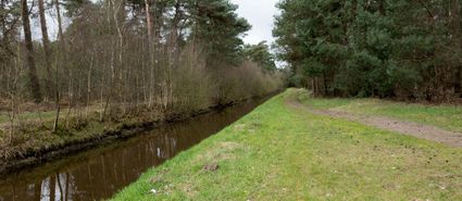
This 38 km. The long Kanalen cycle route runs from the center of Someren via Lierop towards Sluis...
(38.0 km) -
Hiking in De Rips
Hiking in De Rips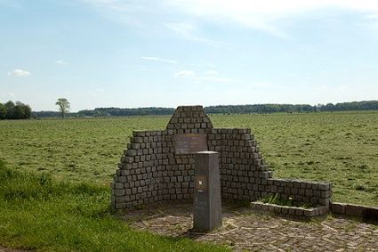
“Hiking in De Rips” is a route that passes through the village and partly through the forests wit...
-
Street Art Route through Helmond
Street Art Route through Helmond
The streets and alleys in the center of Helmond are becoming more charming thanks to the unique m...
(3.0 km) -
In de ban van de Esperloop en Snelle loop
In de ban van de Esperloop en Snelle loop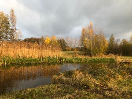
Beautiful walk along the Esperloop, discover nature from the artworks of Jegerings and Tielens
2 hour 30 minutes (10.0 km) -
DAF Hiking Route
DAF Hiking Route
A walk through the life of the founder of the DAF. Hub van Doorne, was one of the many creative r...
(3.0 km) -
Boerenwandeling
Boerenwandeling
The walk in the piglet forest is especially for children from about 3 to 10 years of age.
1 hour -
Rondje Aarle-Rixtel, Elsendorp, Milheeze
Rondje Aarle-Rixtel, Elsendorp, Milheeze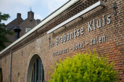
Tranquillity dominates this area where Scottish Highlanders graze on the heathland in the east of...
(60.0 km) -
Rondom Gimmert
Rondom Gimmert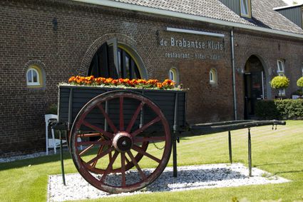
From the Brabantse Kluis in Aarle-Rixtel you can start the route Rondom Gimmert.
(22.0 km) -
Route through Broekbossen and De Biezen Aarle-Rixtel
Route through Broekbossen and De Biezen Aarle-Rixtel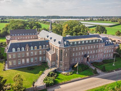
This is one of the walking routes that start at the Heilig Bloed Missionary Convent on the Kloost...
(5.3 km) -
Cycle route network in Someren
Cycle route network in Someren
The cycle route network in Someren and the Land van De Peel has a cycle route network of more tha...
(600.0 km) -
De Aarlese Beemden
De Aarlese Beemden
The area enclosed by the ommetje is 20 ha. The field name 'Beemd' is used in North Brabant to ref...
(2.0 km)