Walking
in Laarbeek
Walking routes
-
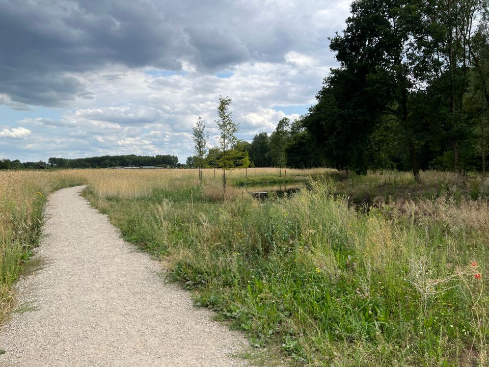
Through 't Gulden Land
Through 't Gulden Land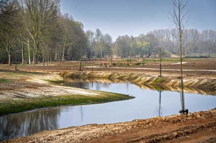
A tour of the head of the place where greenery, water, cultural history and recreation go hand in...
(7.3 km) -
Discover ‘t Gulden Land
Discover ‘t Gulden Land
Discover the place where greenery, water, cultural history and recreation go hand in hand.
(9.9 km) -
Head of ‘t Gulden Land
Head of ‘t Gulden Land
A short walk through the place where greenery, water, cultural history and recreation go hand in...
(2.7 km) -
The Laarbeek trail - Stage 1 (of 5)
The Laarbeek trail - Stage 1 (of 5)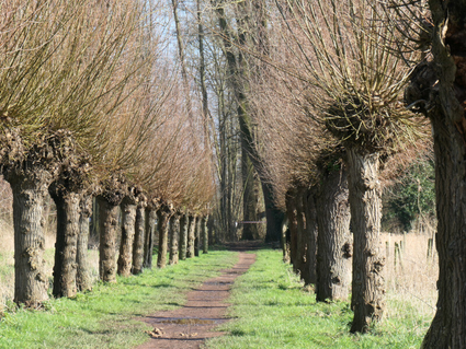
The first stage (15 km) of the Laarbeekpad, a long multi-day hike across the territory of the mun...
(15 km) -
The Laarbeek trail - Stage 2 (of 5)
The Laarbeek trail - Stage 2 (of 5)
The second stage (13 km) of the Laarbeekpad, a long multi-day hike across the territory of the mu...
(13 km) -
The Laarbeek trail - Stage 3 (of 5)
The Laarbeek trail - Stage 3 (of 5)
The third stage (16 km) of the Laarbeekpad, a long multi-day hike across the territory of the mun...
(16 km) -
The Laarbeek trail - Stage 5 (of 5)
The Laarbeek trail - Stage 5 (of 5)
The fifth stage (17 km) of the Laarbeekpad, a long multi-day hike across the territory of the mun...
(17 km) -
The Laarbeek trail - Stage 4 (of 5)
The Laarbeek trail - Stage 4 (of 5)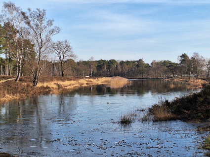
The fourth stage (15 km) of the Laarbeekpad, a long multi-day hike across the territory of the mu...
(13 km) -
Monastery walk Aarle-Rixtel
Monastery walk Aarle-Rixtel
This monastery tour lets you discover the beautiful nature around the Missionary Convent Holy Blo...
3 hour 20 minutes (13 km) -
Rand van De Peel
Rand van De Peel
On the edge of the Peel, you can relax during this route. A varied landscape will continue to sti...
(26.1 km) -
Recht en Orde Laarbeek
Recht en Orde Laarbeek
Cultural-historical walking route between jaw and gallows.
(19 km) -
Vogelnatuurpad Groene Long
Vogelnatuurpad Groene Long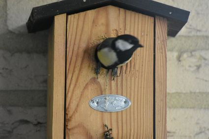
A walk through the Green Long will take you past water features, special trees, bridges and benches.
(4 km) -
Along the Brabantse Aa - Stage 8 (of 13) Laarbeek
Along the Brabantse Aa - Stage 8 (of 13) Laarbeek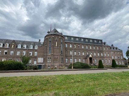
Stage 8: This route takes us to the Commandery of Gemert, a free state in the time of Hendrik Ver...
(14.3 km) -
Along the Brabantse Aa - Stage 6 (of 13) Laarbeek
Along the Brabantse Aa - Stage 6 (of 13) Laarbeek
Stage 6: Discover nature along the Brabantse Aa.
(16.1 km) -
Along the Brabantse Aa - Stage 7 (of 13) Laarbeek
Along the Brabantse Aa - Stage 7 (of 13) Laarbeek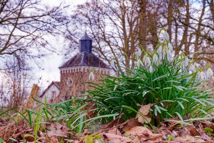
Stage 7: This route goes along and over a maze of canals and streams.
(14.7 km) -
Ommetje Zuid - Mariahout
Ommetje Zuid - Mariahout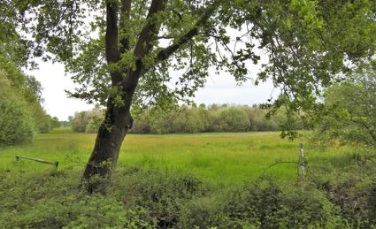
Characteristic are the small-scale elements such as pollard-willows and small wooded banks in a m...
(5.3 km) -
Torrevenroute
Torrevenroute
The Torreven route runs around and passes the Torreven, Vossenbergven and the Haverven (near the...
(6.5 km) -
From Croy to Goorloop Aarle-Rixtel
From Croy to Goorloop Aarle-Rixtel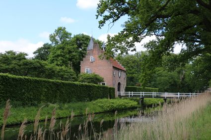
Walking through Aarle-Rixtel, one of the four cores of Laarbeek.
(10 km) -
IVN Walking route Nature garden De Bimd
IVN Walking route Nature garden De Bimd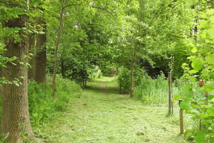
Behind and around the IVN building on Beekseweg 3 in Aarle-Rixtel has been a nature garden since...
-
Bomenwandeling Aarle-Rixtel
Bomenwandeling Aarle-Rixtel
It is recommended to walk this tree walk in the different seasons.
(3.5 km) -
Laarbike: Aarle-Rixtel
Laarbike: Aarle-Rixtel
An interactive bicycle route through Aarle-Rixtel, made by scouting Aarle-Rixtel, in which you ha...
(12 km) -
Route north and east of Beek en Donk
Route north and east of Beek en Donk
Walking route through part of Beek en Donk and a large part of the northern and eastern countryside.
(10 km) -
Natuurgebied De Biezen
Natuurgebied De Biezen
All kinds of developments have taken place in this fascinating nature reserve in recent years. Da...
(11.9 km) -
Route through the village and outlying area of Lieshout
Route through the village and outlying area of Lieshout
Walking route half of which runs through the village and the other half through the outlying area.
(5 km) -
Walk through the core of Aarle-Rixtel
Walk through the core of Aarle-Rixtel
Walk through the centre and along the outskirts of Aarle-Rixtel.
(3 km) -
Happening and stepping, The Goose Walk
Happening and stepping, The Goose Walk
The name says it all: ‘Happen en Stappen’ is a delicious combination of hiking and culinary enjoy...
(12 km) -
Route along municipal ponds Beek en Donk
Route along municipal ponds Beek en Donk
A beautiful walking route that takes you past three municipal ponds, among other things.
(3.3 km) -
Pond route Beek en Donk
Pond route Beek en Donk
Beautiful walking route through Beek en Donk, taking you past five municipal ponds.
(5 km) -
Ommetje Oost - Mariahout
Ommetje Oost - Mariahout
This walk is characterised by a small-scale landscape where agriculture and forestry predominate.
(5.8 km) -
Historical route - Mariahout Pioneer Village
Historical route - Mariahout Pioneer Village
This route runs through the centre of Mariahout. There are 18 QR codes on 18 signs that lead the...
(2.5 km)